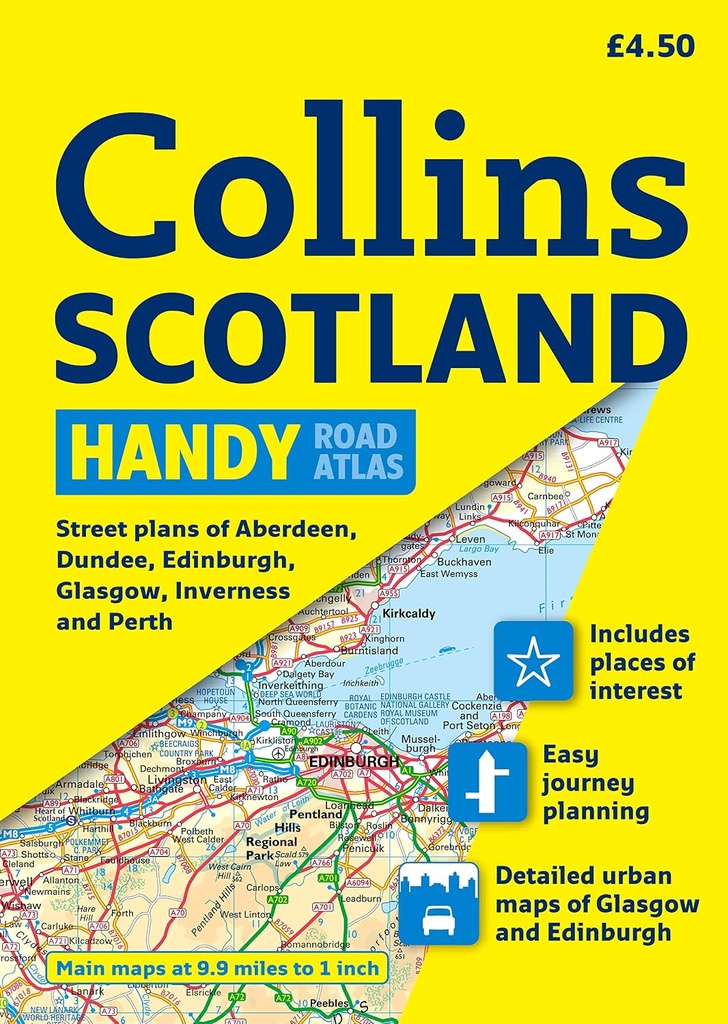
COLLINS HANDY ROAD ATLAS SCOTLAND
ISBN : 9780007254613
Clear, attractive route planning maps of the whole of Scotland are supported by comprehensive, fully indexed city center street maps of Aberdeen, Dundee, Edinburgh, Glasgow, Inverness, and Perth. These maps have places of tourist interest highlighted; attractive layer coloring showing land height; and fully classified and color coded road networks. There is detailed street mapping of Edinburgh, including the Royal Mile with all its attractions clearly marked, Leith, and Holyrood Park; detailed street mapping of Glasgow including the West End; detailed street mapping of Aberdeen; and street maps, with indexes, of Dundee, Inverness, and Perth city centers. The tranport connections section lists all the airports and details of all vehicle ferries into and within Scotland. Covering the whole of Scotland and part of northern England, extending down to Kendal and Scarborough in the south, this atlas has a scale of 9.9 miles to 1 inch.
| Editeur: HARPERCOLLINS |
| Theme: GUIDES PRATIQUE |
| Langues: Anglais |