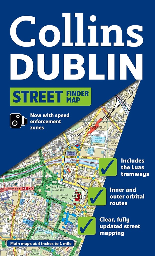
COLLINS DUBLIN STREETFINDER COLOUR MAP
ISBN : 9780007313303
Full color map of Dublin with street level detail and full index to street names. For 2009 the map shows speed enforcement zones and cameras. The map has clear, color-classified streets named and numbered plus places of interest, all fully color coded for ease of use. The map includes: / Important buildings and places of interest. / Car parks and railway stations. / Full index to street names. New for 2009: / Speed enforcement zones as highlighted by the Garda and the National Roads Authority. / Fixed safety camera locations. Covers an area from Ballymun and Baldoyle in the north to Dundrum in the south, includes Castleknock and Phoenix Park in the west to the coast in the east. Ideal for residents, businesses and visitors who will all find this map a useful purchase.
| Editeur: HARPERCOLLINS |
| Theme: GUIDES PRATIQUE |
| Langues: Anglais |